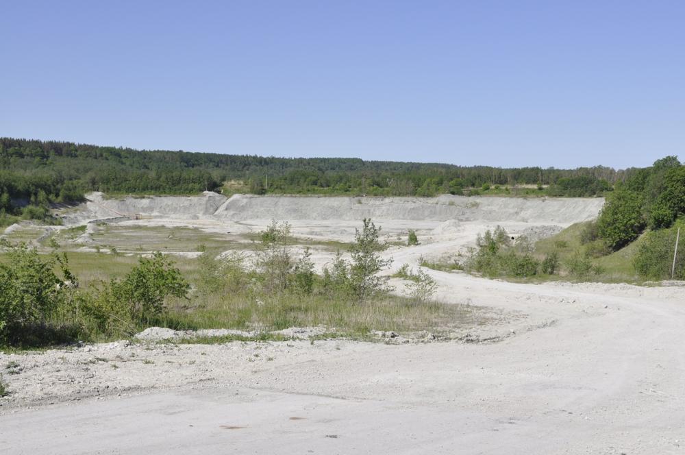
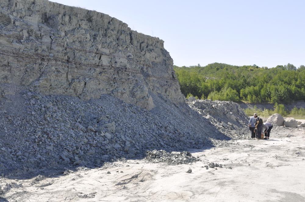
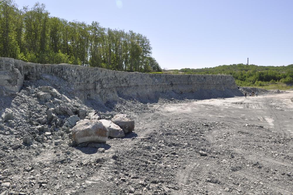
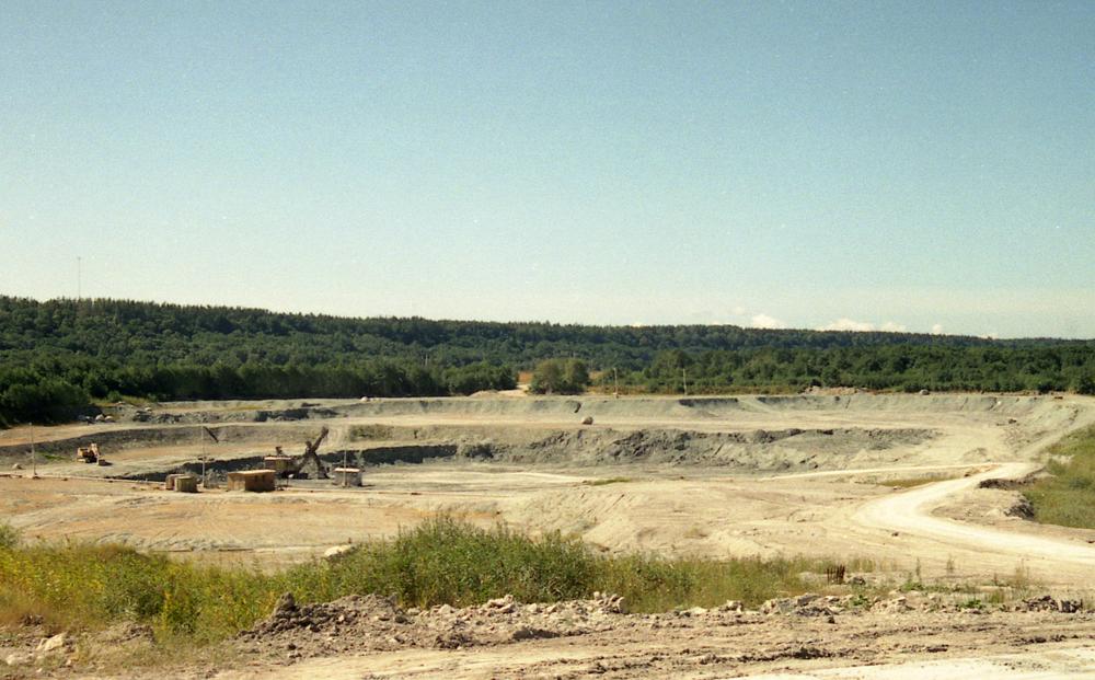
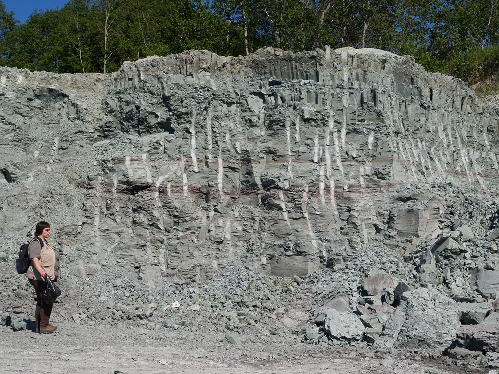

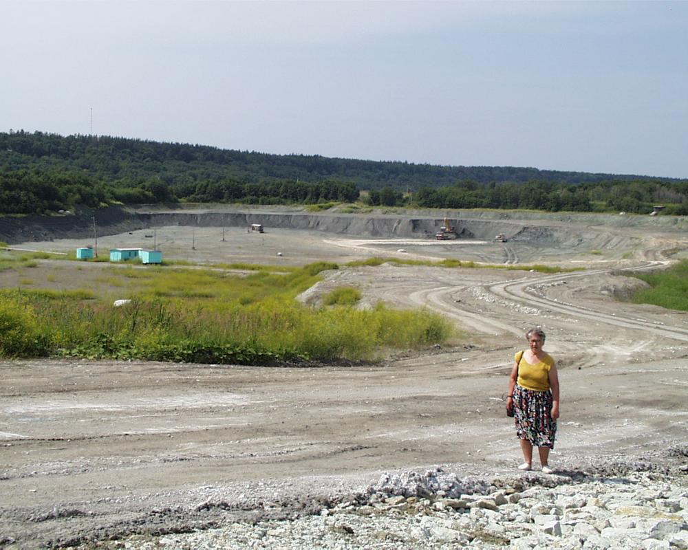
| Name | Kunda Mereäärne clay quarry |
| Type | surface mine |
| Country | Estonia |
| Parish | KUNDA |
| Coordinates | 59.513883, 26.529627 |
| Coordinate precision | 100-1000 m |
| Coord. method | Google Maps / Earth |
| Coord. agent | Aaloe, Aasa |
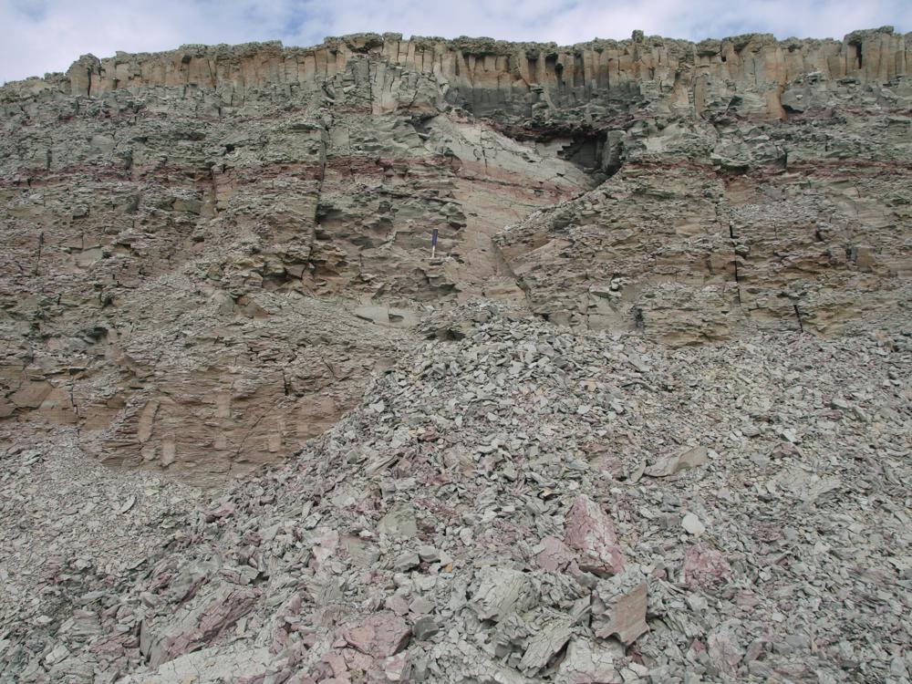
| Location remarks | Kolmest savikarjäärist põhjapoolseim. Avati umbes 1990 a. Kunda mereäärne savikarjäär - Lontova kihistu holostratotüüp (Lontova lade Kambriumi ladestu); |
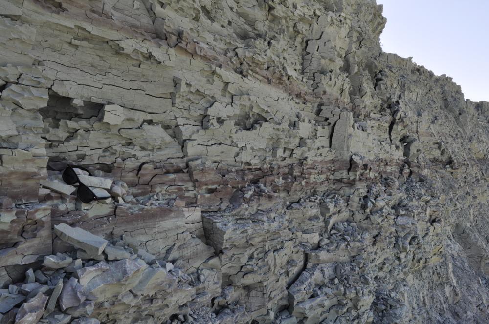
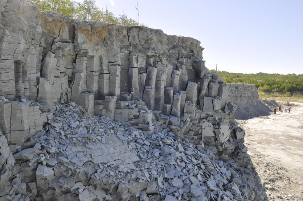
| Strat. base | Lower Cambrian (old nomenclature) |
| Remarks | Lontova kihistu stratotüüp. GI-l proovid alates 2001 |
| Date added | 2004-01-06 |
| Date changed | 2022-12-15 |
Browse Geocollections
Partners

