


| Name | Soeginina cliff |
| Type | outcrop |
| Country | Estonia |
| Parish | Lümanda |
| Settlement | Austla |
| Coordinates | 58.28475, 21.83819 |
| Coordinate precision | 10-100 m |
| Coord. method | GPS |
| Coord. agent | Hints, Olle |
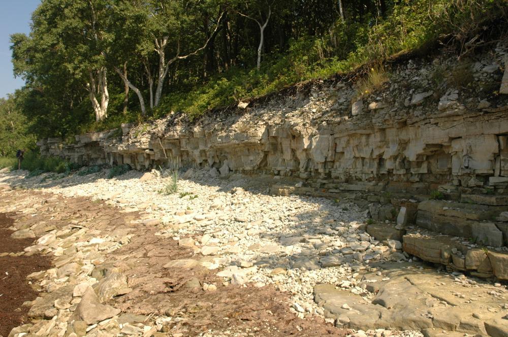
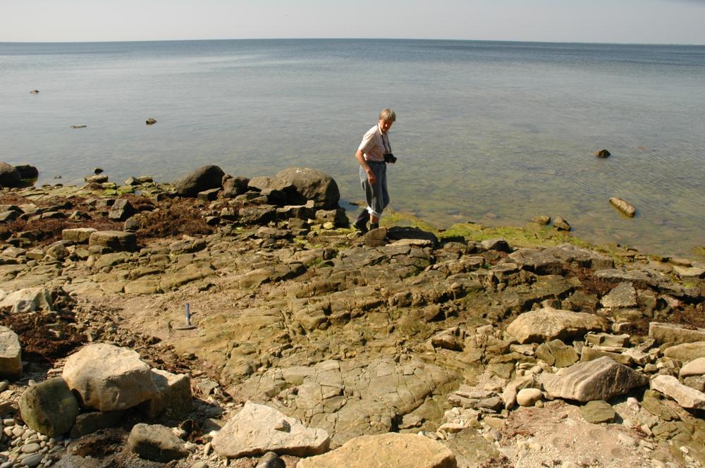
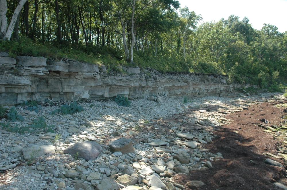
| Location remarks | Saaremaa läänerand, Austla külast 2 km loodes, mere ääres. (The west coast of Saaremaa, 2 km northwest of the Austla village, by the sea). |
| Strat. top | Rootsiküla Stage |
| Strat. base | Rootsiküla Stage |
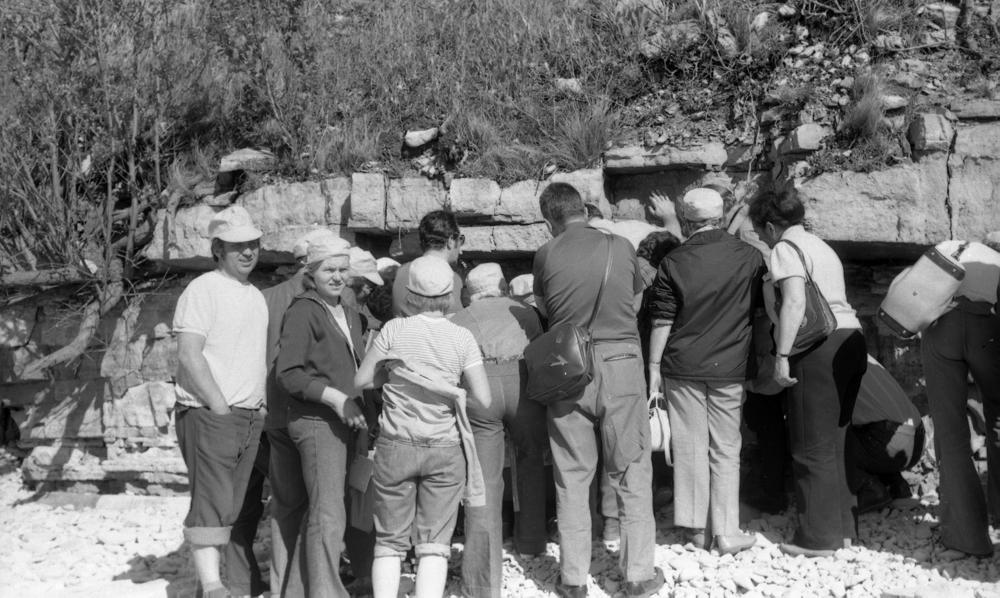
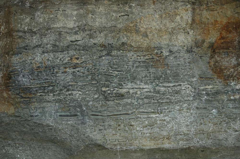
| Remarks | Soeginina kihtide stratotüüp. Soeginina ja Vesiku kihtide piir. Pank jääb Vilsandi Rahvuspargi territooriumile. Esineb kerajaid onkoliite, mistõttu kivimit kutsutakse "sibulpaeks". (Stratotype of the Soeginina Beds. The boundary between the Soeginina and Vesiku Beds. The bank is on the territory of Vilsandi National Park. Spherical oncolites are present, which is why the rock is called "onion rock".) |
| Date added | 2002-03-21 |
| Date changed | 2024-02-28 |
Browse Geocollections
Partners

