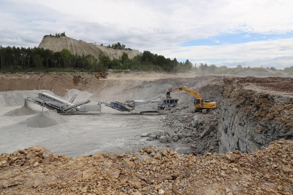
| Name | Vasalemma quarry |
| Type | surface mine |
| Country | Estonia |
| Parish | Vasalemma |
| Coordinates | 59.233369, 24.330317 |
| Coordinate precision | 1-10 m |
| Coord. method | Est Land Board map server |
| Coord. agent | Hints, Olle |
| Strat. top | Rakvere Stage |
| Strat. base | Keila Stage |
| Date added | 2001-07-07 |
| Date changed | 2023-07-04 |
Browse Geocollections
Partners

