


| Name | Iru outcrop |
| Type | outcrop |
| Country | Estonia |
| Parish | TALLINN |
| Coordinates | 59.459819, 24.905064 |
| Coordinate system | EPSG:3301 |
| X | 6591684 |
| Y | 551323 |
| Coordinate precision | 1-10 m |
| Coord. method | Est Land Board map server |
| Coord. agent | Hints, Olle |
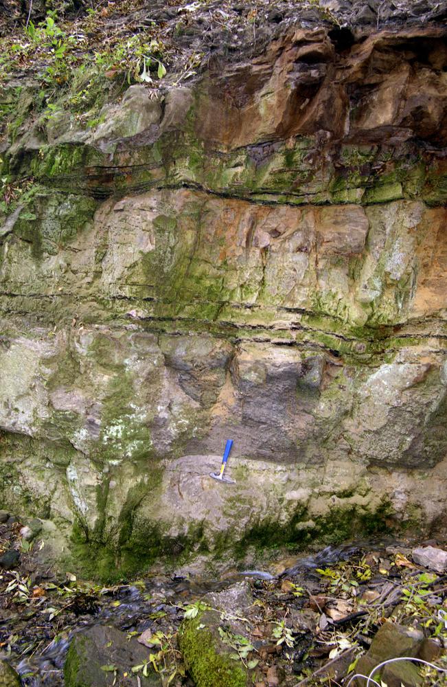
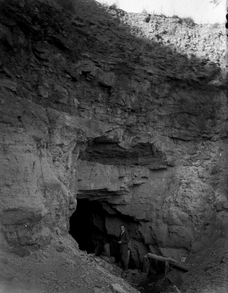
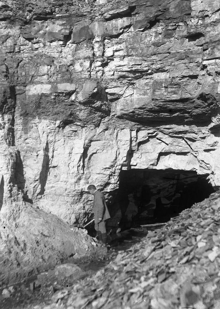
| Location remarks | Pirita jõe paremal kaldal Iru külas. I maailmasõja ajal rajati stoll, mille suudmes oli hea Pakerordi lademe (Maardu k) paljand. EÜR-s on Iru paljand märgitud Narva mnt ja Pärnamäe tee ristumiskohast ca 100 m lõuna poole |
| Strat. top | Aseri Stage |
| Strat. base | Pakerort Stage |
| Date added | 2001-03-29 |
| Date changed | 2019-01-30 |
Browse Geocollections
Partners

