
| Name | Vesiku creek |
| Type | outcrop |
| Country | Estonia |
| Parish | Kihelkonna |
| Settlement | Kiirassaare |
| Coordinates | 58.33651, 21.99101 |
| Coordinate precision | 10-100 m |
| Coord. method | GPS |
| Coord. agent | Hints, Olle |
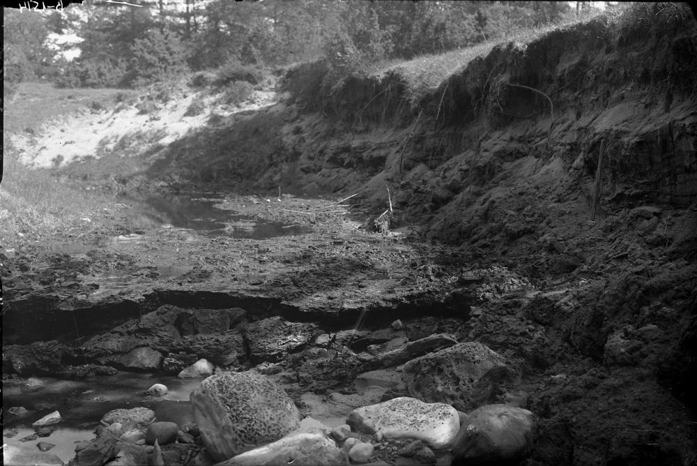
| Location remarks | Vesiku oja suudme lähedal, 50 m Kihelkonna-Karala (vana tee) mnt sillast ülesvoolu |
| Strat. top | Rootsiküla Stage |
| Strat. base | Rootsiküla Stage |
| Remarks | Läbilõiget 1,1 m; Rootsiküla lademe Vesiku kihtide stratotüüp; rikkalik agnaatide skeletiosakeste leiukoht, soomusterikast kihti kutsutakse kondikihiks (ingl: bonebed) |
| Date added | 2000-12-14 |
| Date changed | 2019-02-05 |
Browse Geocollections
Partners

