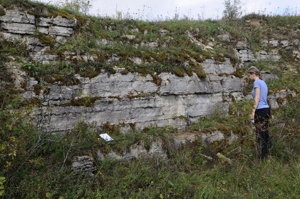
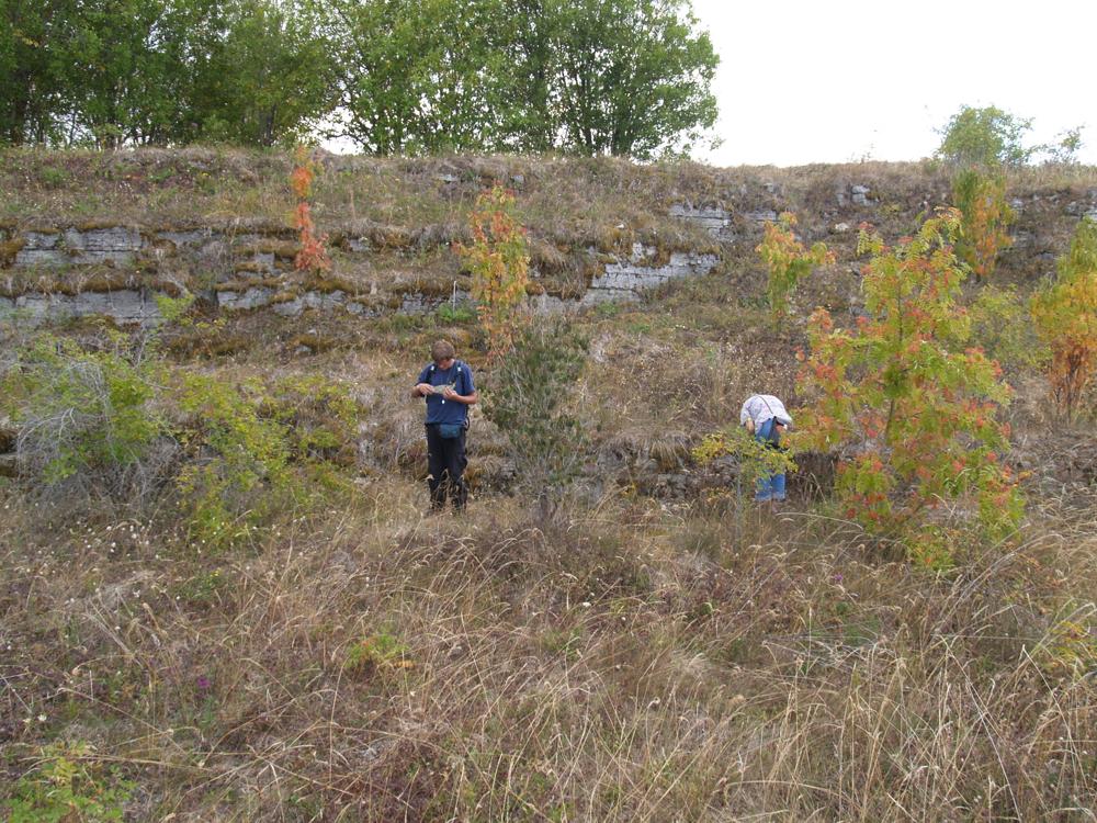
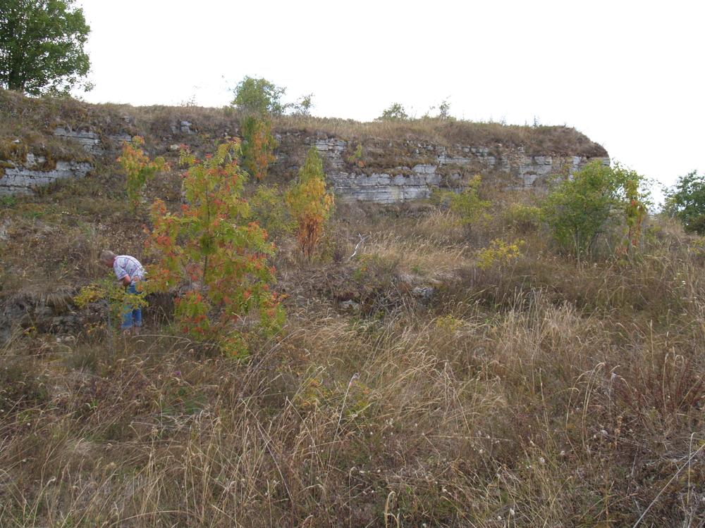
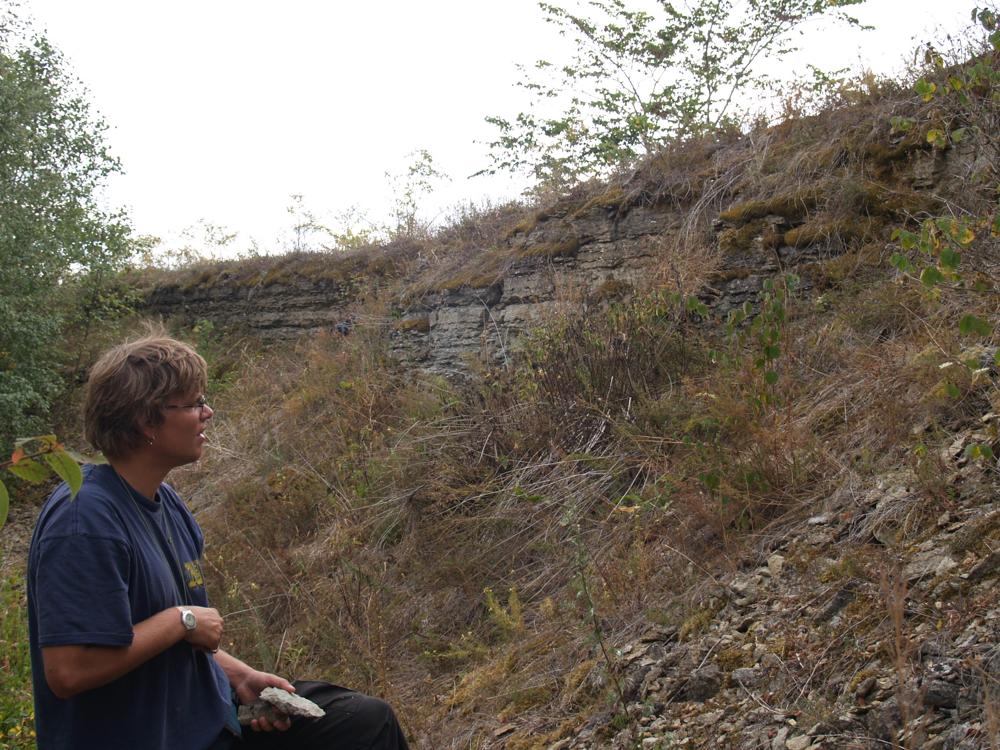
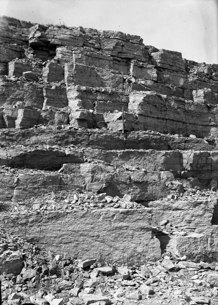
| Name | Aseri quarry |
| Type | outcrop |
| Country | Estonia |
| Parish | Aseri |
| Coordinates | 59.47302, 26.839479 |
| Coordinate system | EPSG:3301 |
| X | 6596215 |
| Y | 660913 |
| Coordinate precision | 1-10 m |
| Coord. method | Est Land Board map server |
| Coord. agent | Hints, Olle |
| Location remarks | Aseri raudteeülesõidust 2 km loodes, klindi serval. Aseri lademe (Cla;O2as) holostratotüüp (Purtse alamladestik, Darriwili lade, Ordoviitsiumi ladestu); |
| Strat. top | Lasnamägi Stage |
| Strat. base | Kunda Stage |
| Remarks | Aseri lademe ja Aseri kihistu stratotüüp |
| Date changed | 2019-01-17 |
Browse Geocollections
Partners

