

| Name | Kaugatuma cliff |
| Type | outcrop |
| Country | Estonia |
| Parish | Salme |
| Settlement | Kaugatoma |
| Coordinates | 58.12036, 22.19053 |
| Coordinate precision | 10-100 m |
| Coord. method | GPS |
| Coord. agent | Hints, Olle |
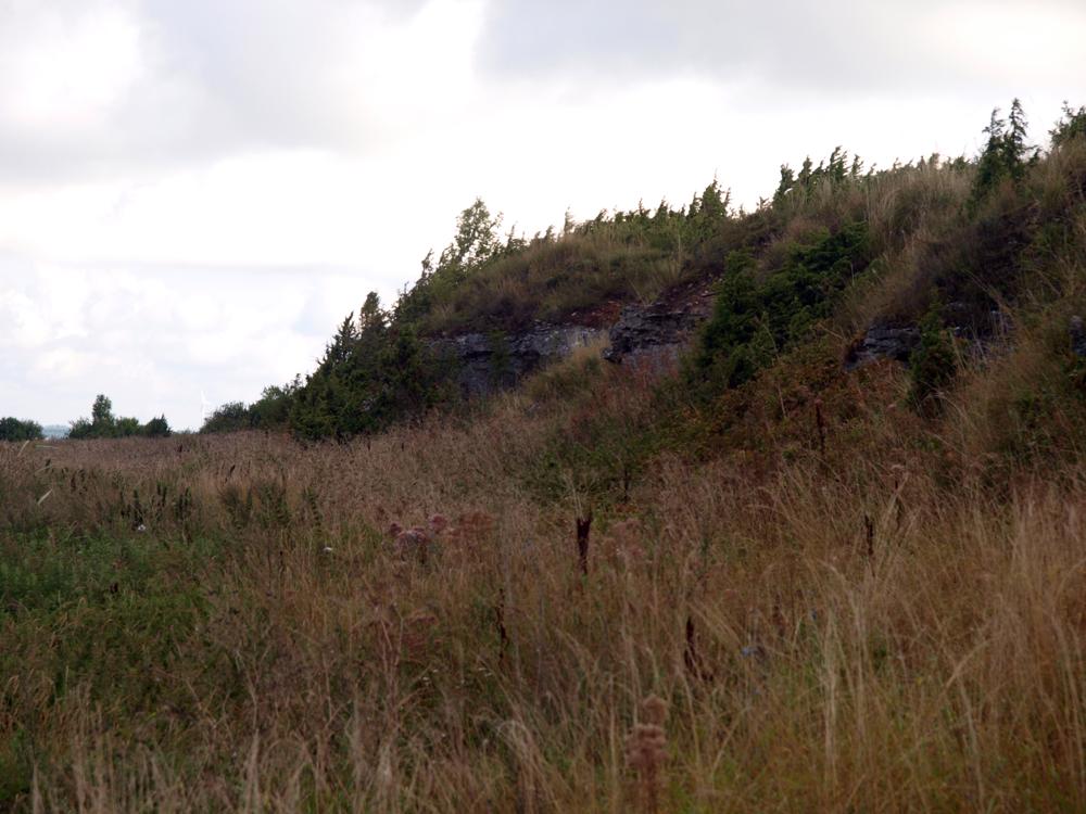
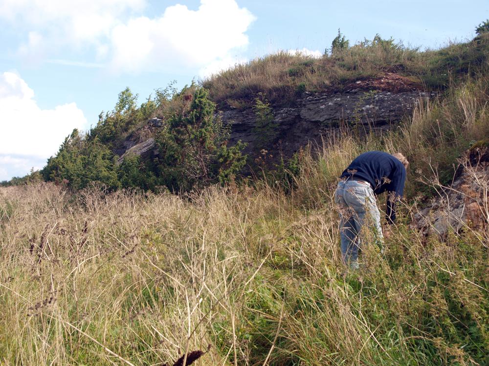
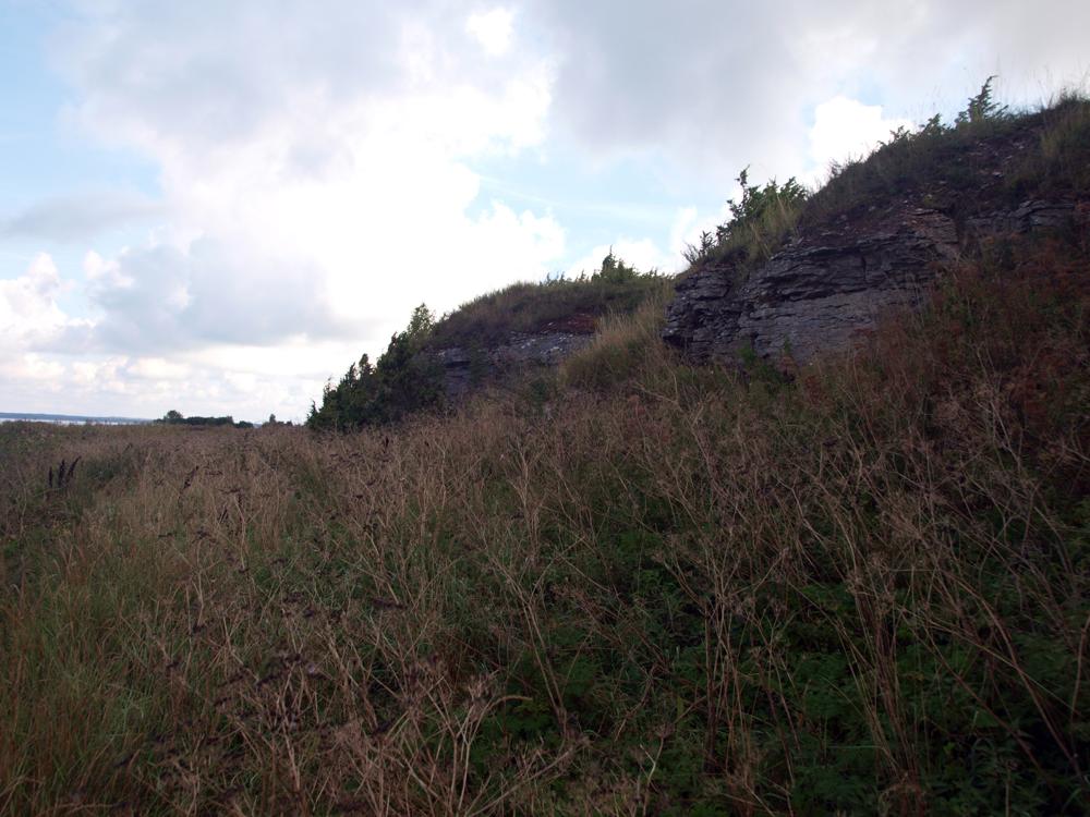
| Location remarks | Sõrve poolsaare läänerannal, Salme külast 7 km edela pool, ca 100 m rannast. Panga pikkus 125 m, kõrgus 2,5 m. L. Põlma 1985. a siluristide eksped märkmetes jagab Kaugatuma panga kolme ossa: Kaugatuma I - kõige põhjapoolsem osa - meri pangast kaugel. (On the west coast of the Sõrve peninsula, 7 km southwest of the village of Salme, approx. 100 m from the beach. The length of the bank is 125 m, the height is 2.5 m. L. Põlma, in his 1985 Silurian exped notes, divides Kaugatama Bank into three parts: Kaugatama I - the northernmost part - far from the sea bank.) |
| Strat. top | Kaugatuma Stage |
| Strat. base | Kaugatuma Stage |
| Remarks | Kaugatuma lademe stratotüüp. Field Meeting, 1990. Loc 7 : 3. (Stratotype of the Kaugatuma Stage. Field Meeting, 1990. Loc 7 : 3.) |
| Date changed | 2024-02-28 |
Browse Geocollections
Partners

